
Challenge
Located on the paved road network under management by the Road Authority of Namibia, the project involved digital capture of defects through the client’s software. This was completed by using tablets in the field, as opposed to tradition paper-based methods, which is still a common practice for most authorities and consultants in Southern Africa.
The assessment required the team to undertake visual field inspections to compile structures inspection reports which outlined defects and rehabilitation recommendations. The project scope included assessment and investigation of all bridges and major/large culverts across the road network in Namibia.
Solution
SMEC assembled a collaborative team with members from Namibia supported by subject matter experts across the wider network in South Africa. The team comprised fully qualified bridge inspectors familiar with TMH19, the national standard for the rating of road structures. The inspections were be carried out by eight bridge inspectors and seven culvert inspectors leading teams throughout the four maintenance regions of Namibia.
All visual assessments were done through the Integrated Rapid Asset Capturing (i-RAC) platform on the Namibia Bridge Management System. i-RAC provides an asset logging and condition assessment solution for immovable infrastructure. From here all inspections underwent approval through i-RAMS, a cloud-based Premier Integrated Asset Management Solution. I-RAMS provides a unified asset life-cycle solution for infrastructure within the operational technology environment. All structural data was exported to the STRUMAN database after final quality assurance.
Another key digital tool suggested was the use of 3D point cloud modelling of bridges through drone imagery. This could be inputted into the client’s database for future desktop assessment. To date several proof-of-concept point cloud models have been prepared and will potentially be used as as-built digital twins for large to very large bridges.
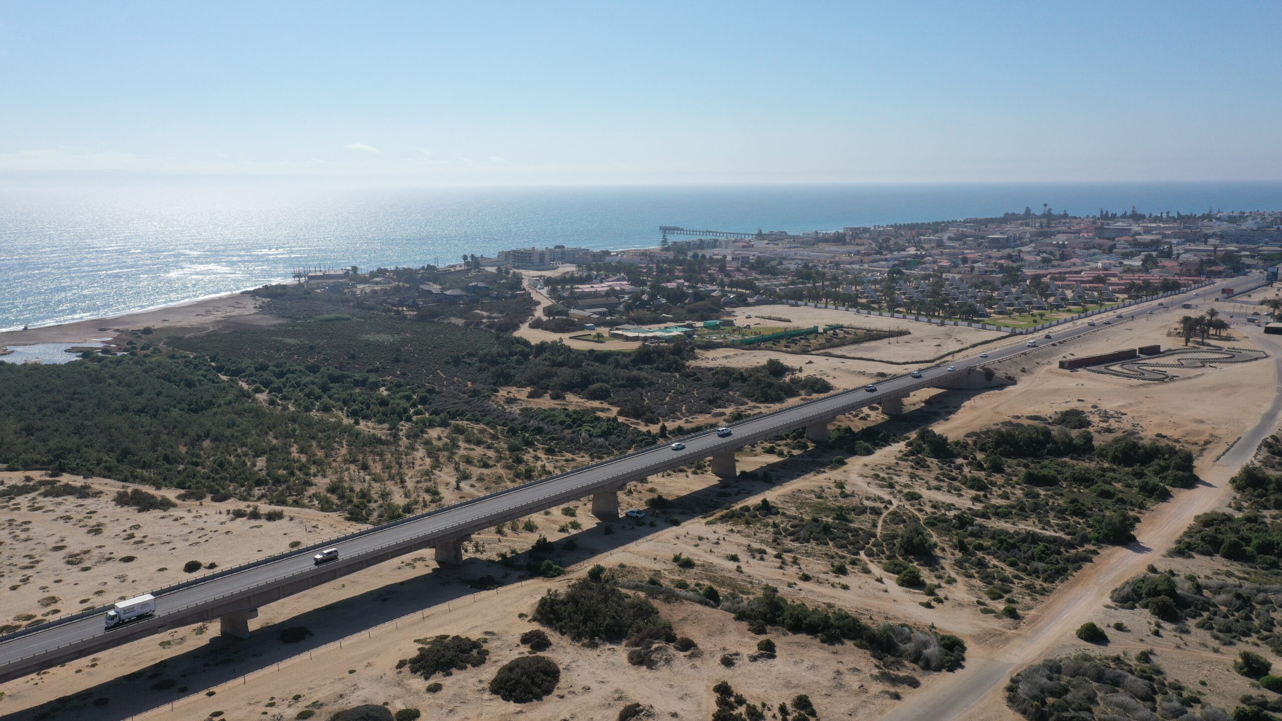
Drones were deployed for bridges and culverts with limited accessibility. The drones were used for inventory photography and to assist in the bridge condition assessments.
Impact
This project has provided the opportunity to grow GIS skills across the wider team through planning and progress mapping in ArcGIS, an online geographic information system software. It has also resulted in the GIS team working on the development of a digital bridge assessment method for the SMEC group, which is being trialled on site in Namibia and across South Africa.
The project allowed for onsite training and exposure to thirteen young engineers who worked as assistants to senior technical specialists.
The assessment of the bridges and major culverts on the Namibia Road Authority’s network is expected to be completed at the end of March 2024, following quality assurance checks.
Provision of Consulting Services: Visual Assessment of Bridges and Culverts based on the Namibian Bridge Management System
Roads Authority of Namibia
Namibia
Seelenbinder Consulting Engineers (SCE)
2023 – 2024


